What you need to know...
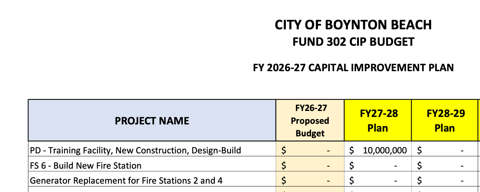
$10 Million Already Proposed? How did this happen?
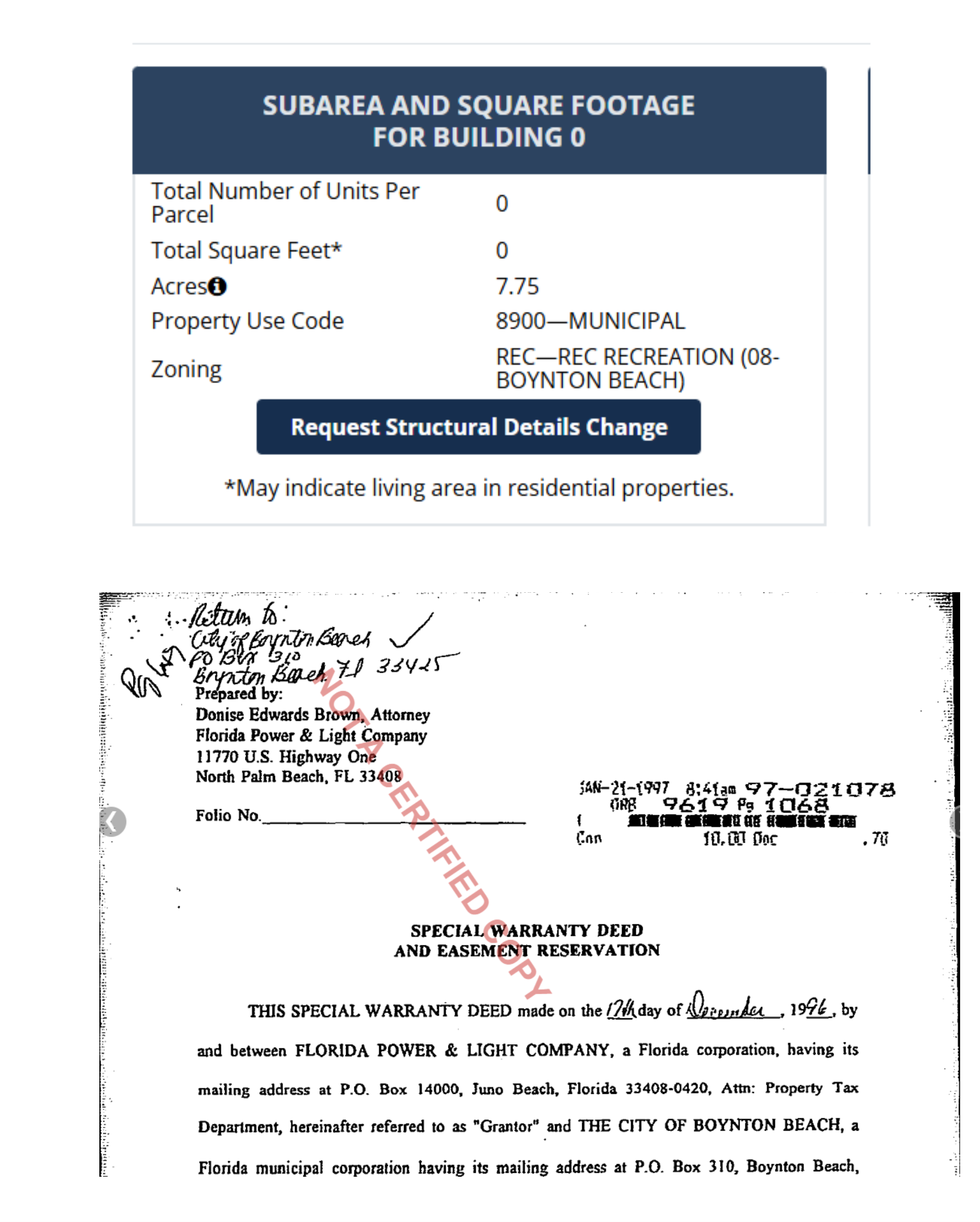
When the land was Sold to the City in December 19, 1996 for $10.00 to be used as a Nature Preserve, walking biking trail...
WITNESSETH:
Grantor, in consideration of Ten Dollars and No Cents ($10.00) and other good and valuable consideration, to it paid by Grantee, the receipt of which is hereby acknowledged, hereby grants, sells and conveys to Grantee, its successors and assigns forever all of that certain land situated and located in Palm Beach County, Florida and more particularly described as follows: See Exhibit "A" attached hereto and by this reference made a part hereof for the description of the land conveyed hereby. Subject to taxes and special assessments for the year and all subsequent years, to zoning restrictions and other requirements imposed by governmental authority, and to easements, conditions, reservations, restrictions and limitations of record.
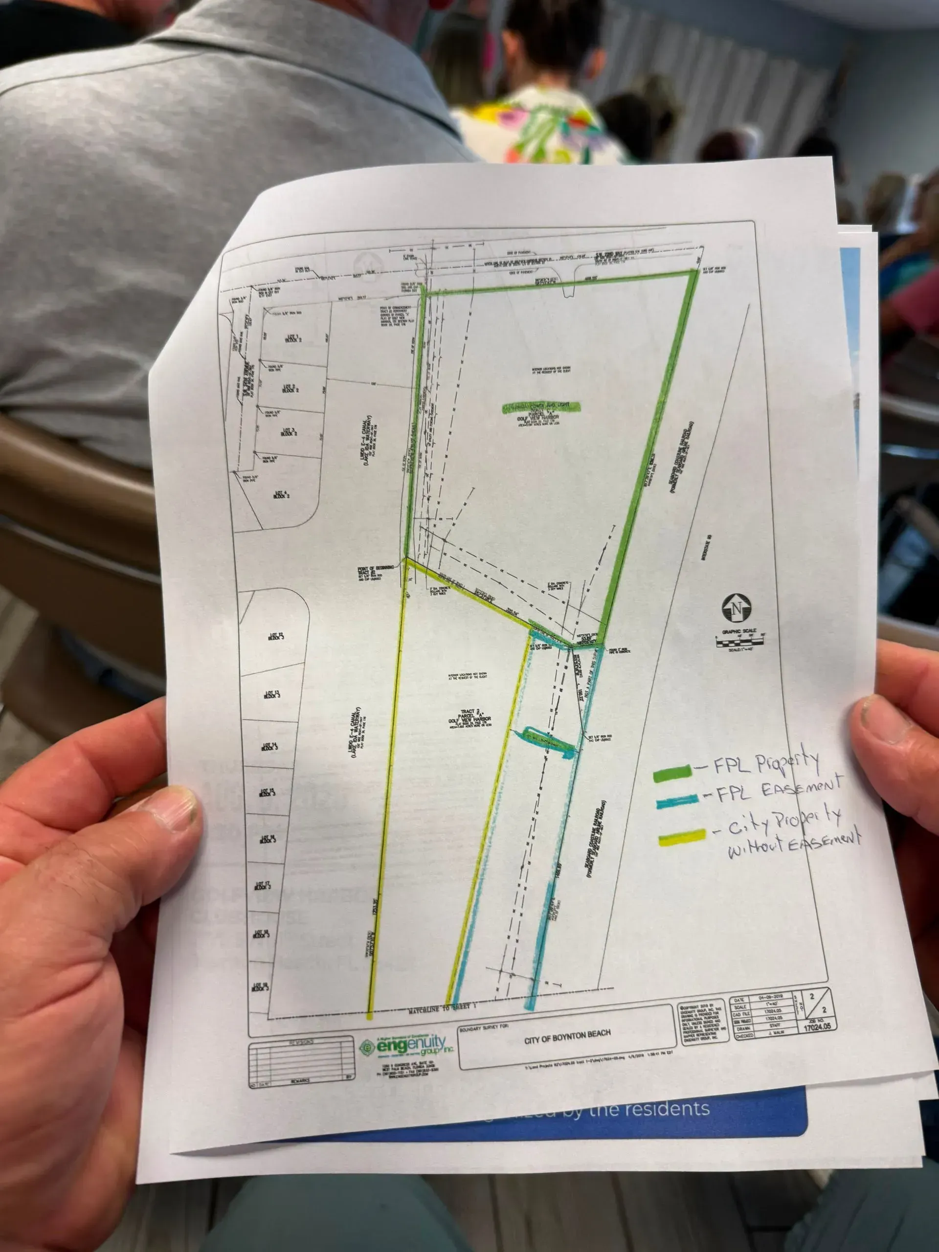
Reserving, however, unto the Grantor, its successors and assigns, an easement forever, as more particularly described in Exhibit "B" attached hereto and by this reference made a part hereof, in, over, under, upon and across the land for the construction, operation and maintenance of one or more overhead and underground electric transmission and distribution lines and other electric utility facilities (including wires, poles, H frame structures, guys, cables, conduits, telephone and telegraph lines, transformer enclosures, and appurtenant equipment) now existing or to be installed from time to time; with the right to reconstruct, improve, add to, change the size of, or remove such facilities or any of them; to permit any other person, firm or corporation to install equipment on the ground, attach conduits, wires, or cables and to operate the same for communication purposes, the right to use one or more roads or other access upon or across said land, the right of ingress and egress over adjoining lands of Grantee for the purpose of exercising the easement rights hereby reserved, also, to cut, trim, remove and keep clear all trees, brush, undergrowth and other obstructions that might endanger or interfere with said facilities, including but not limited to buildings, structures, wells, irrigation systems or other improvements.
Grantee's use of the easement shall limited to a nature preserve, walking/biking trail, parking or similar use. Grantee shall not place or allow to be placed any building, fencing or other permanent structure within the easement.
Here is what happened...
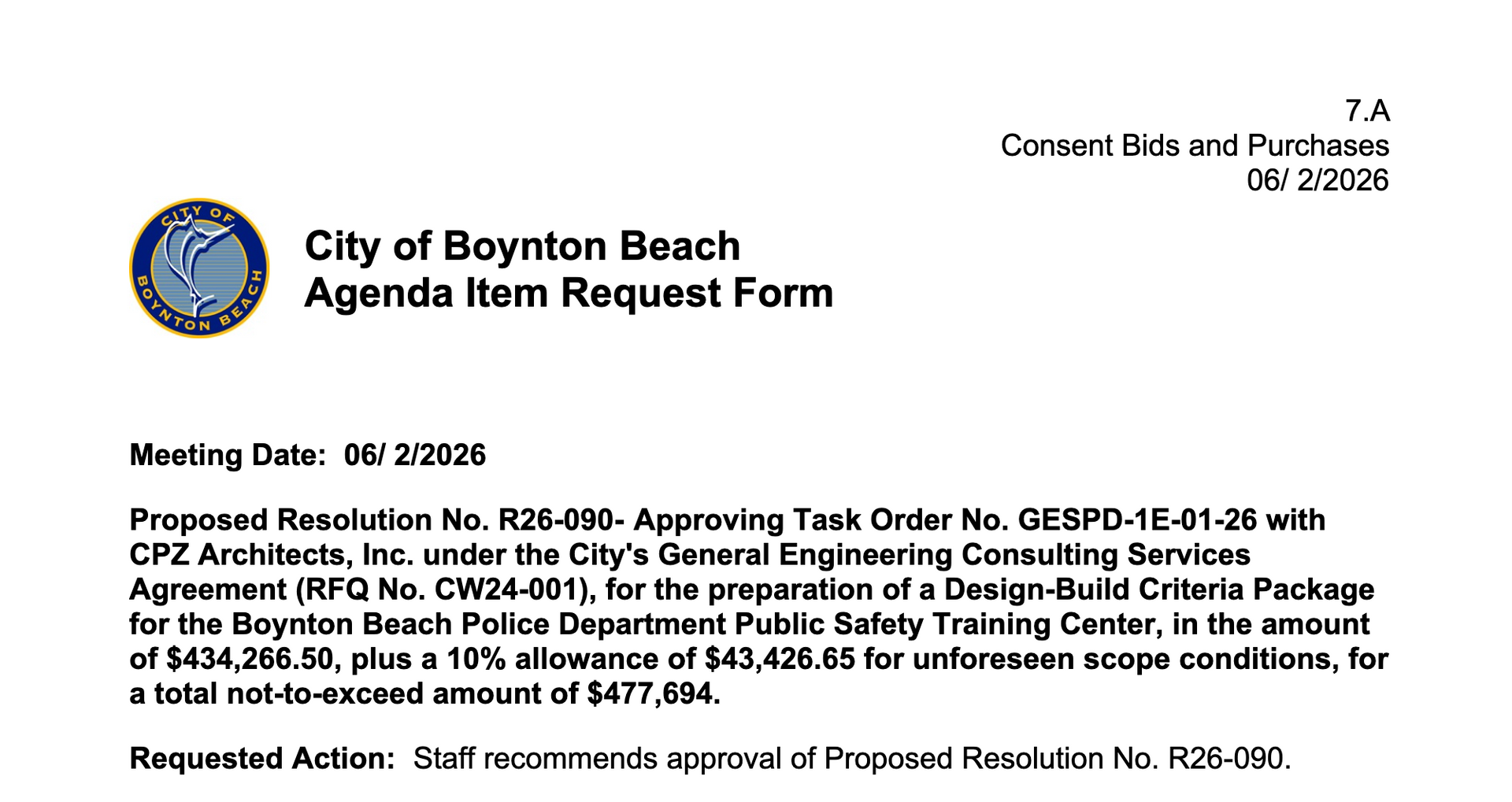
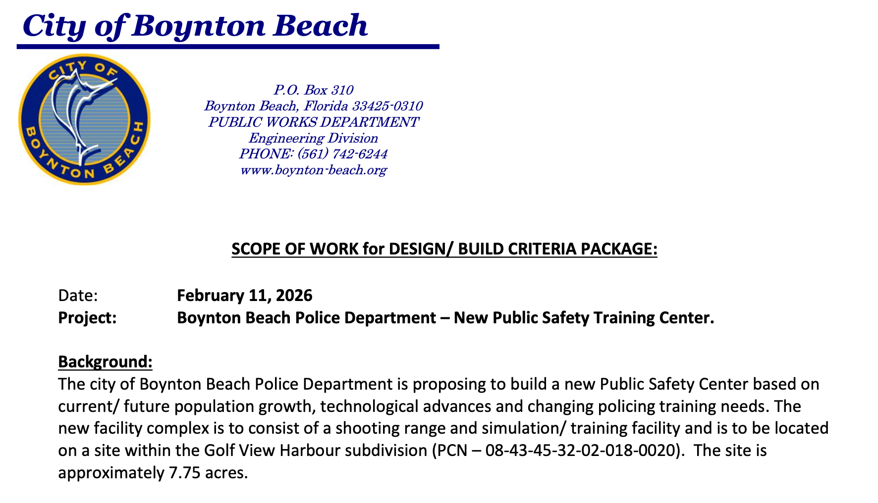
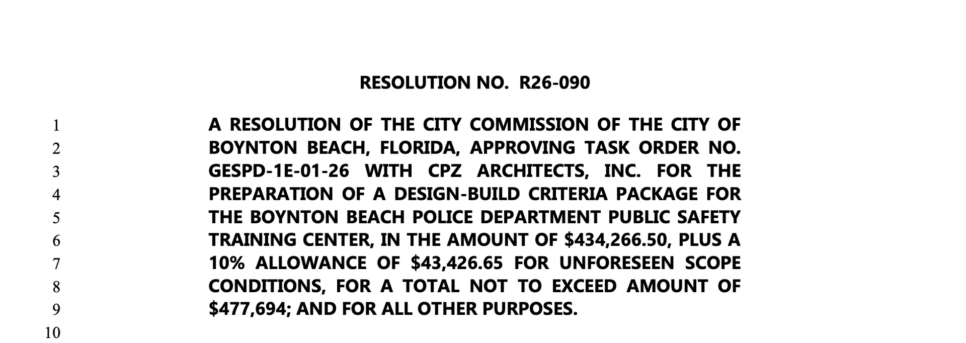
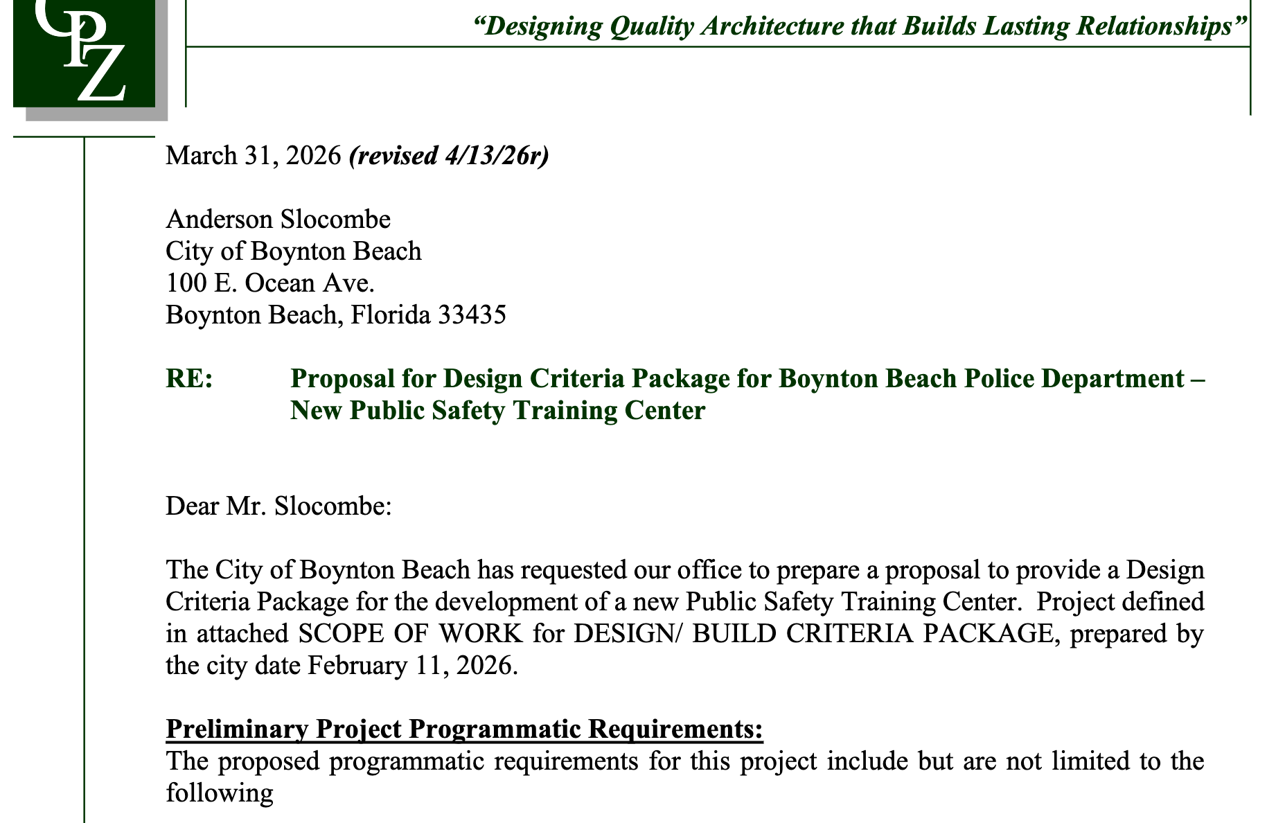
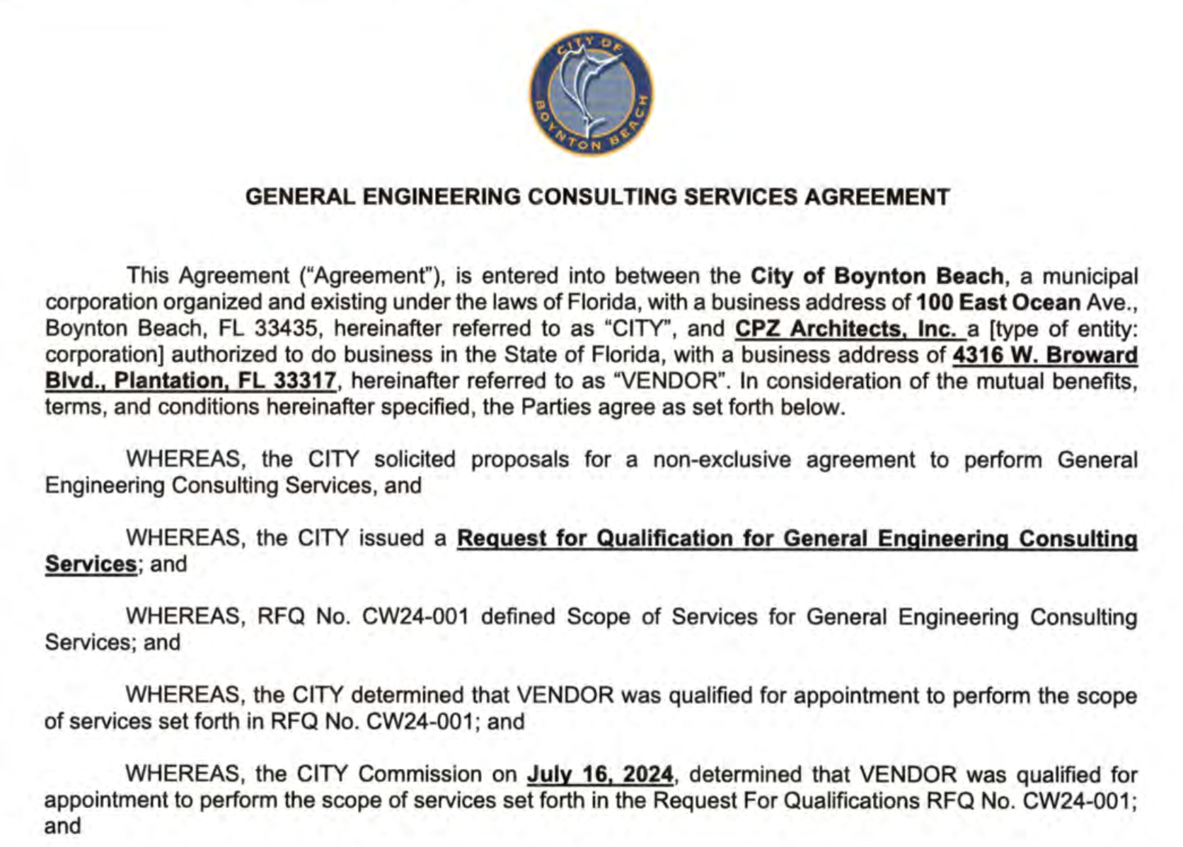
The document and attachments provided on this website are reproduced from publicly available records obtained from the City of Boynton Beach. These materials are provided for informational and educational purposes only. While every effort has been made to ensure accuracy, this website does not guarantee the completeness, accuracy, or timeliness of the information. The official records maintained by the City of Boynton Beach shall govern in the event of any discrepancy. The views, opinions, proposals, and recommendations contained within these documents are those of the authors and do not necessarily reflect the views of this website or its owner.
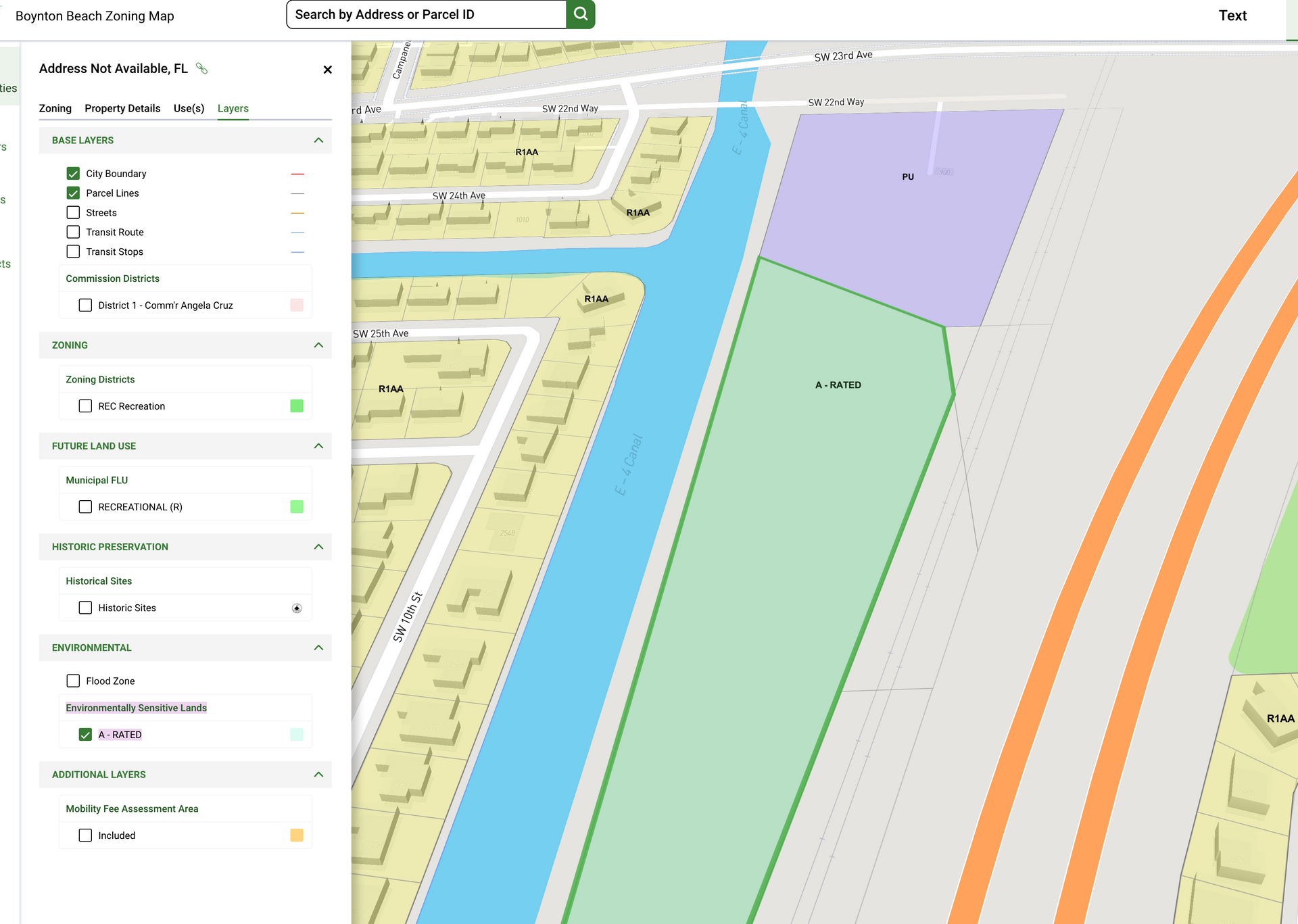
The FPL Park is not a simple 7.685-acre vacant development site. Recorded deeds, easements, and survey documents show that the property is already affected by several significant legal and physical constraints:
1. LWDD E-4 Canal right-of-way / western boundary
The FDOT survey identifies a 155-foot right-of-way associated with the Lake Worth Drainage District E-4 Canal along the western side of the property.
2. FDOT Parcel 800.1
A 5,001-square-foot perpetual easement for a noise wall, together with FDOT access, ingress, and egress rights.
3. FDOT Parcel 801.1
A separate 2,141-square-foot perpetual easement for a noise wall and related access rights.
4. FPL easement
Approximately 4.019 acres are subject to an FPL easement containing substantial use and structure restrictions, including limits on buildings, fencing, and other permanent structures within the easement area.
Not to mention a large parking lot plus an outdoor gun range on a heavily wooded land next to a canal will raise significant environmental concerns especially in an area with lots of native trees that provide nesting for birds. By constructing on this land, we can only assume there will be large displacement of mammals, reptiles, amphibians and pollinators and a reduction in the wildlife corridors as well. By clearing a large area for parking and a gun range our native understory plants, and the removal of large mature native trees will destroy or fragment bird habitats. What will happen to the canals?
What That Means in Practical Terms
Based on the recorded constraints identified so far, the acreage outside the large FPL easement is approximately 3.666 acres. Depending on how the two FDOT easements overlap with the FPL easement, the remaining area outside these known restrictions may be closer to approximately 3.5 acres than 7.7 acres.
Even that figure does not account for other factors that may further affect what can actually be built on the property, including:
* zoning and land-use requirements,
* building and infrastructure setbacks,
* access and internal circulation,
* drainage and stormwater requirements,
* canal-related buffers or permitting,
* proximity to the railroad and I-95,
* environmental conditions,
* utilities,
* and other engineering or site-design limitations.
Bottom Line
It is more accurate to evaluate the FPL Park by its actual constrained footprint, not simply by its gross acreage.
The FPL Parkparcel totals approximately 7.685 acres, but about 4.019 acres are subject to the FPL easement, and the property is also affected by two FDOT perpetual noise-wall/access easements totaling 7,142 square feet. The western edge is additionally defined by the 155-foot LWDD E-4 Canal right-of-way. Based on the recorded constraints identified to date, only approximately 3.5 to 3.666 acres may remain outside those known easement areas, before any additional planning, environmental, access, drainage, zoning, or engineering limitations are considered.
Boynton Beach taxpayers paid $163,751 for the City's Reimagine Recreation / Parks & Recreation System Master Plan. On February 15, 2022, the City Commission authorized the City Manager to issue a $163,751 purchase order to Gentile, Glas, Holloway, O'Mahoney & Associates, Inc. to prepare the Parks & Recreation System Master Plan that would help guide future parks and recreation decisions throughout the City.
https://www.ordinancewatch.com/files/82613/LocalGovernment138408.pdf
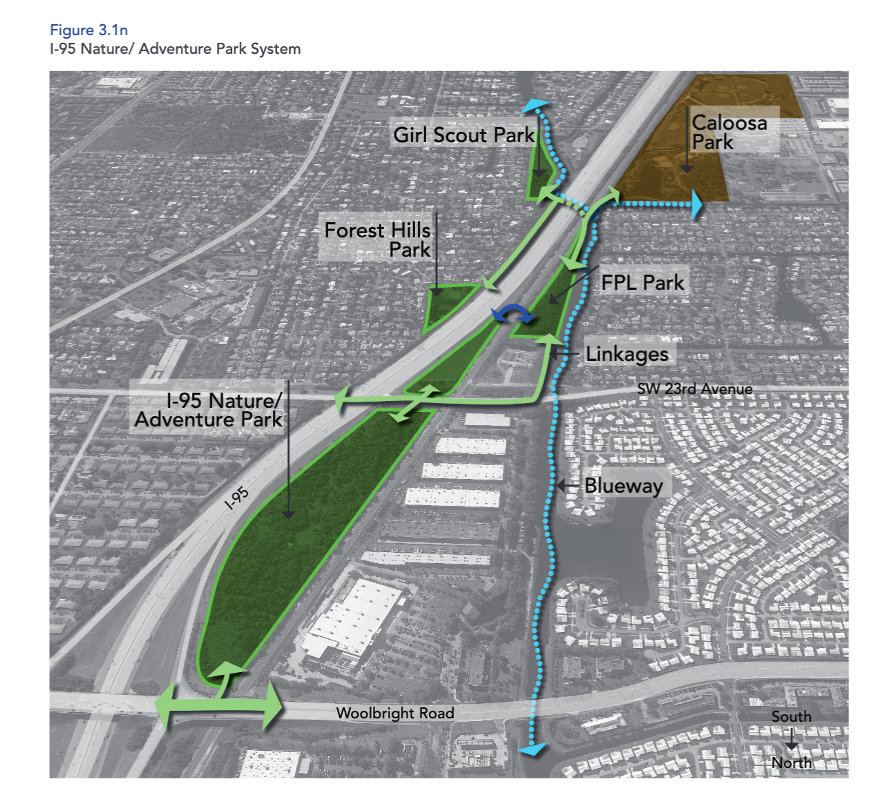
FUTURE PARKS
Expand Natural Area Parks - Expand natural area park land and provide public access to Natural Area Parks through unpaved walking/ hiking trails and mountain bike trails were appropriate, with interpretive signage and other amenities such as seating areas and shelters.
In addition to the
Future Parks that will be developed as Natural Area Parks, and areas in existing parks that have the potential for soft-surface hiking trails, seven sites were identified that offer significant opportunity to acquire new natural area parkland as illustrated in
Figure 3.1m. These areas were selected based on meeting the following requirements: vacant land, greater than 2 acres, include natural forest (and may also be classified as a wetland and/or in the 100-year flood zone)
1.
Eco Park - Implement Master Plan, include a kayak launch. The park could also be expanded to included the undeveloped sites adjacent to the park.
2.
Ezell Hester Jr. Community Park
– over 4 acres along the south and southwestern edges of Hester Park are historic forest, that should be improved with resource management and hiking trails.
3. Boynton Beach Mall/Nickels Road Park – a 6.8-acre area on the western edge of the Boynton Beach mall has been protected as preserve. It is 1,200 feet east of the future Nickels Road park site which is forested natural area. Hiking trails and a connection along the canal would improve both sites.
4. Intracoastal
– Four contiguous parcels form a 9-acre site that has 600-feet of intracoastal frontage and features a mangrove forest that has been undisturbed for over 30 years.
REIMAGINE RECREATION PARKS AND RECREATION MASTER PLAN
Signed and Planned March 2023
Overview:
The Comprehensive plan is an official ordinance that lays out goals, objectives, and policies for
Ongoing and Future Development throughout the City.
Themes / Analysis:
The Comprehensive plan describes the City’s intent, related to a full range of services and activities. Each of the objectives includes metrics to be used for “Measurability” of the stated outcome.
Components:
The goals, objectives and policies are components of the plan’s nine “Elements,” including:
1. Future Land Use
2. Transportation
3. Utilities
4. Conservation
5. Recreation & Open Space
6. Housing
7. Coastal Management
8. Intergovernmental Coordination
9. Capital Improvements
Recommendations / Vision:
The following are the Goals, Objectives, and Policies that relate to the recreation and parks
system:
• Future Land Use Element
» Policy 1.3.1, g.: Recreational category shall include active and passive recreation facilities and parks that are both publicly owned and privately- owned. It shall be the policy of the City that all land acquired for public parks, excluding those located in planned zoning districts shall be placed in the Recreational land use and zoning category within five years of acquisition. Development within this designation shall have a maximum Floor Area
Ratio (FAR) of 0.50
The uses allowed in this land use category shall be limited to, but shall not necessarily include, the following:
1. Public parks and recreational facilities;
2. Golf courses;
3. Private parks and recreation facilities;
4. Indoor entertainment as accessory;
5. Theaters;
6. Social and civic clubs and organizations;
7. Governmental offices;
8. Civic and community centers;
9. Museums;
10. Medical facilities as accessory; and
11. Retail sales, restaurants as accessory
Conservation shall be applied to any natural areas acquired within the City for the purpose of conserving or protecting natural resources or environmental quality. These areas may be used for wildlife management, passive recreation and environmental restoration/protection. No development is allowed in the Conservation land use category other than site improvements to support uses that are deemed appropriate and consistent with the function of the designated area. The City shall coordinate with Palm Beach County to designate environmentally sensitive lands that are publicly acquired within the incorporated area as Conservation.
2050 Future plan...
COASTAL
Management
housing & neighborhoods
housing & neighborhoods
Economic Development
Conservation and Recreation
Upcoming Events
City CommissionTuesday, October 6, 2026 - 6:00 PM
Community Redevelopment Agency Board, Tuesday, October 13, 2026 - 6:00 PM
CRA Advisory BoardWednesday, October 21, 2026 - 6:00 PM
Community Redevelopment Agency BoardTuesday, November 10, 2026 - 6:00 PM
CRA Advisory BoardWednesday, November 18, 2026 - 6:00 PM
Community Redevelopment Agency BoardTuesday, December 8, 2026 - 6:00 PM
CRA Advisory BoardWednesday, December 16, 2026 - 6:00 PM
City CommissionTuesday, January 5, 2027 - 6:00 PM
October 13, 2026
Community Redevelopment Agency Board Meeting
City Commission Meeting
Date:
Tuesday, October 13, 2026
Time:
6:00 PM
Location: City Hall Commission Chambers, 100 E. Ocean Avenue, Boynton Beach, FL 33435
Review the
Meeting
Thank you CBS12 NEWS - WPEC for Reporting the
NEWS COVERAGE
Boynton Beach neighbors fight proposed police shooting range near their homes
Maintain our community for the future